

Current maps of the area
An up to date ordnance survey map of the house names (most, not all) of the central Ferrensby area is available here, this is correct as of 2023.
Click here: 20231218 Ferrensby Village Map

A link to the Knaresborough Round walking route on Walking Englishman – http://www.walkingenglishman.com/leedsharrogate29.htm (opens in new tab)
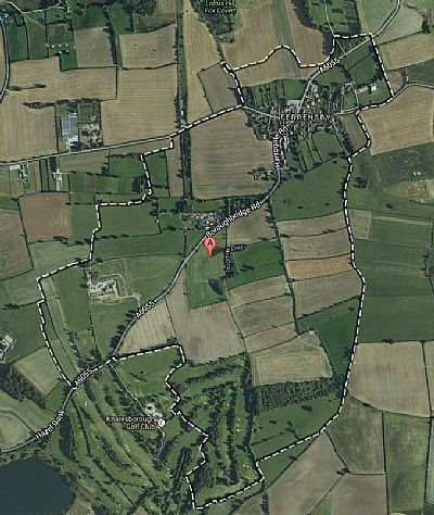
A Google Maps (opens in new tab) image of Ferrensby Parish Boundary
And lastly a map helpfully compiled by Dr A Colin Day http://www.colinday.co.uk/ (opens in new tab), showing the names of many of the houses in the village (the version mirrored on this site is dated 17th June 2011):
Ferrensby village house names (by Colin Day reproduced from Ordnance Survey Data) (opens in new tab)
A more up to date version may be available directly from the link below
http://colinday.co.uk/maps/HarrogateMaps/Ferrensby.pdf
Historic Maps of the Area (Links to National Library of Scotland)
1842-1952 – OS Six-inch England and Wales
Yorkshire 155 (includes: Allerton Mauleverer with Hopperton; Flaxby; Whixley.)
Surveyed: 1846 to 1851
Published: 1853

Also linked: http://maps.nls.uk/view/102344740 (opens in new tab)